ALL PHOTOS BY MARC HURWITZ
A sequel to the extremely popular “Safe Hikes To Take Around Boston During The Coronavirus Crisis” and “Even More Remote Spots Close To Boston For Socially Distant Hiking.”
Now that warmer days are upon us for the most part, there are increased worries that people in the local area who have been dealing with cabin fever since March may start heading outside in droves, and it doesn’t take a brain surgeon to know that many will try to head to the tried-and-true spots including beaches, lakes, and urban oases.
The problem is, because of the COVID-19 pandemic (which is by no means over), social distancing can be nearly impossible if 500 people are lying out in the sand or checking out a sunset over the Charles. The Commonwealth has taken care of much of the beach problem, closing a number of parking areas along the water, while Boston Mayor Marty Walsh is certainly keeping an eye on people hitting places such as the Esplanade, the Harborwalk, and other popular areas.
A couple of earlier articles here looked at a handful of places where crowds aren’t typically found, but even a few of those are getting busy, so it seems like a good time to look at parks and conservation areas that are big enough to safely keep your distance from others and/or so obscure that few even know about them. While these places tend to be spots where it is best to have a car, a few of them can be accessed via public transportation—that is, for those of you who are comfortable with being on buses and subways right now.
One important note: Even in the case of these mostly remote places, it’s best to check in advance to see if any lots, trails, gates, or roads are temporarily shut down for crowd control, especially on weekends—and keep in mind that restrooms are closed for now, so make sure you plan in advance before making any trips.
Callahan State Park, Framingham
Expect to find peaceful open fields, views of nearby hills, quiet ponds, and enough trails to keep you active much of the day at this quiet and mostly little-known area west of Boston.
Ames Nowell State Park, Abington
A flat and relatively small conservation area south of the city, Ames Nowell is a good option if you’re short on time, though the many trails and large pond allow for a decent amount of exploration.
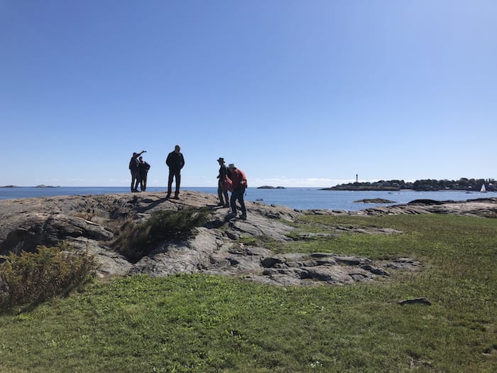
Crowninshield Island, Marblehead
The smallest property here at only five acres, this is a “bang-for-your-buck” spot with jaw-dropping views of the ocean from its rock outcroppings. You can only get here at low tide, which makes it a pretty unusual option.
Georgetown-Rowley State Forest, Georgetown and Rowley
A huge forested area that’s not all that far north of Boston and that has a lot of level trails, and a place where you’ll likely have much of it all to yourself, even on weekends and warm days.
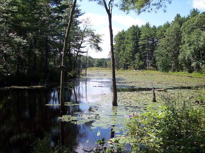
Great Brook Farm State Park, Carlisle
A cross-country ski area in the winter, this isolated place is a great place for peace and quiet, with bucolic fields, a gorgeous pond, and attractive boardwalk trails through wetland areas full of wildlife.
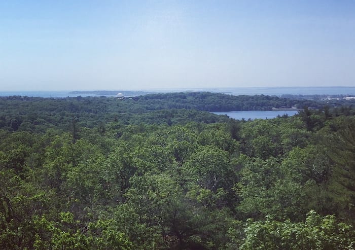
Moose Hill Farm, Sharon
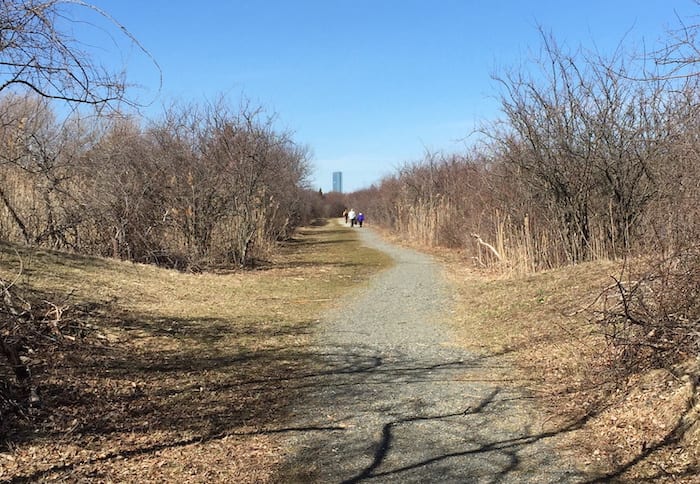
An easy ride from Route 128, this moderately-sized space just off Route 95 is one of the best options in the region for views of the Boston skyline from its 466-foot summit.
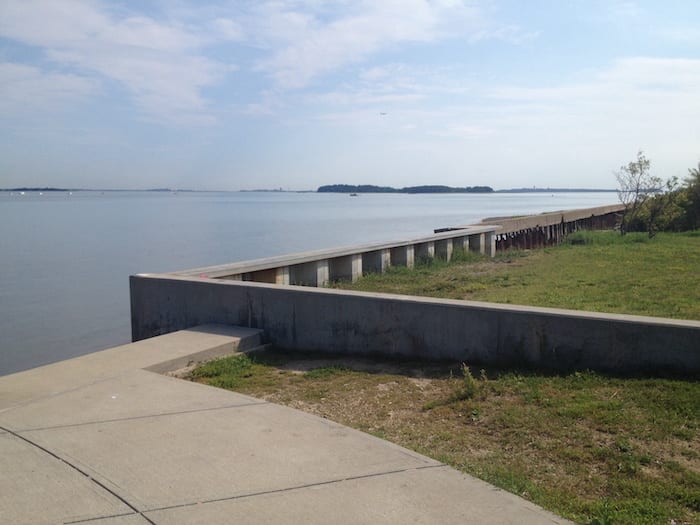
Squantum Point Park, Quincy
The closest option to downtown Boston on this list, this old airfield has been converted into a gorgeous waterside park with spectacular views of the city and a hidden riverside walk.
Willowdale State Forest, Topsfield
With countless trails (about 40 miles worth in total) along with ponds and wetlands, this unknown area isn’t all that far from Route 128, but feels very remote considering its location.
Lynn Woods, Lynn
The second-largest municipal park in the US, Lynn Woods is large enough to get lost in, so it should be easy to get away from others while enjoying the many ponds and hills it has to offer.
Wompatuck State Park, Hingham, Cohasset, Norwell, and Scituate
A massive conservation area that’s only about a half hour from downtown Boston, you’ll find ponds, streams, pine forests, low hills, and remnants of military buildings within this gorgeous space.
This article was produced in collaboration with the Boston Institute for Nonprofit Journalism as part of its Pandemic Democracy Project.
HELP DIGBOSTON WEATHER THIS STORM AND CONTINUE PROVIDING ARTICLES LIKE THIS ONE

Marc is the founder of @hiddenboston, a textbook editor, a hike leader for @AppMtnClub, and a food and travel writer and commenter for DigBoston, NBC/NECN, WBZ, WMFO and indie617.